SUMMARY
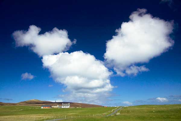
Windy today with frequent squally blustery showers, with hail and thunder, the showers turning to sleet in the afternoon. Strong W to NWly winds, with gales over Orkney. Wintry showers tonight with snow across the high ground, but perhaps at lower levels for a time. Some drifting in the strong to gale-force W to NWly winds.
Blustery wintry showers on Thursday, mostly of rain, sleet and hail at first, but turning back to snow later. Strong Wly winds veering Nly and increasing to severe gale force later perhaps with locally very poor travel conditions.
Bitterly cold on Friday with snow showers, possibly resulting in several centimeters of lying snow in places at low levels and greater accumulations over high ground where drifting may occur in the strong to gale-force NWly winds.
A cold weekend with wintry showers dying out on Saturday as fresh NWly winds ease. Sunday mainly dry and bright with winds falling light. Widespread frosts overnight leading to icy conditions. Probably a fine, dry start to the week with light winds, sunny days and cold, frosty nights. Perhaps becoming milder by midweek with freshening SWly winds and the chance of a little rain.
TOP
GENERAL SITUATION AND SYNOPSIS 06:00 UTC 11/01/2017
With a depression in the southern Norwegian Sea a strong, cool and showery Wly airflow covers the north of Scotland.
As the depression moves east into Scandinavia during the airflow will turn NWly during Thursday and then Nly by Friday, dragging colder Arctic air southwards as it does so.
The strong airflow is expected to ease over the weekend as pressure builds from the west, with a ridge of high pressure toppling east across Scotland early next week forecast to cut off the Arctic airflow.
While pressure is predicted to remain relatively high across southern Britain next week, Atlantic low pressure may bring a milder SWly airflow over the Northern Isles.
TOP
FORECAST FOR NEXT THREE DAYS
Temperatures today rising to 4° or 5° Celsius, down to 0° Celsius tonight. On Thursday and Friday a high of 3° or 4° Celsius, with overnight lows of 0° or 1° Celsius.
WEDNESDAY 11th: Windy with frequent squally blustery showers, with hail and thunder, the showers turning to sleet in the afternoon. F6-7 W to NWly winds, reaching gale F8 over Orkney. Wintry showers, frequent at times this evening with snow across the high ground, but also at lower levels for a time overnight. Some drifting on high ground in the F6 to gale F8 W to NWly winds.
Sea State: Rough to high, with a 3 to 8 metre NWly wind-swell. Highest in the northwest.
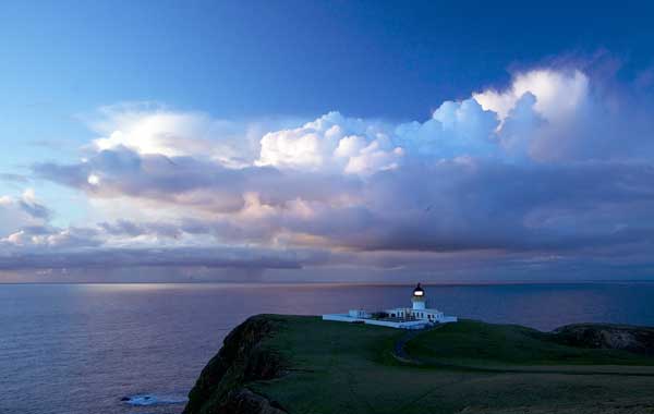
THURSDAY 12th: Blustery wintry showers continuing through the day, mostly of rain, sleet and hail at first, but turning back to snow later. F6-7 Wly winds veering Nly and increasing tF7 to gale F8, locally severe gale F9 later a combination which could lead to locally very poor travel conditions. With the likelihood of lightning in the heavier showers there is the potential for some disruption of power supplies.
Sea State: Rough to high, with a 4 to 9 metre NWly wind-swell. Highest in the northwest.
FRIDAY 13th: Bitterly cold with snow showers, possibly resulting in several centimeters of lying snow in places at low levels and 10-20cms over high ground where drifting may occur in the F6 to gale F8 NWly winds. Winds are expected to ease F5-6 later.
Sea State: Very rough to high, with a 6 to 8 metre NW to Nly wind-swell. Highest in the north.
TOP
TEN DAY OUTLOOK
Cold at first with daytime temperatures of 3° or 4° Celsius and overnight lows of 1° Celsius. Then becoming milder with highs of 7° or 8° Celsius and lows of 4° to 6° Celsius.
SATURDAY 14th: A cold day with wintry showers dying out as fresh NWly winds ease.
Sea State: Very rough, with a 4 to 5 metre NW to Nly wind-swell.
SUNDAY 15th: Mainly dry and bright with winds falling light. Widespread frost overnight leading to icy patches on untreated surfaces.
Sea State: Moderate to rough, with a 2 to 4 metre W or NWly wind-swell. Highest in the west.
MONDAY 16th - SATURDAY 21st: Probably a fine, dry start to the week with light winds, sunny days and cold, frosty nights. Perhaps becoming milder by midweek with freshening SWly winds and the chance of a little rain.
Sea State Monday: Moderate to rough, with a 2 to 3 metre SW to Wly wind-swell. Highest in the west.